The Grand Tetons — updated

Not sure why, but I’m having trouble uploading photos. Anyway, after I posted yesterday’s blog, I spotted a herd of buffalo, a pelican, three elk, a pronghorn antelope and an osprey feeding her young. One more short hike today and then heading south. Hope these photos make it. I have a bunch more from the GT, which I’ll try to post later.

The Grand Tetons

Grand doesn’t do the Tetons justice, but it’s a start. They are a short crow’s flight from Yellowstone and, while considerably smaller than their sister national park to the north, possessed of a spectacular charm all their own, not to mention a rich and colorful history. One of the Tetons’ gems is Jenny Lake, named after a Shoshone Indian, who helped pioneers explore and settle the area in the late 1800s. She along with her six children died from the smallpox in 1876. You can take a shuttle to the west side of the lake and then hike a number of trails from there. And if you get to the dock by 7 am, which I did, the round trip is only five bucks; after that it’s 15! Wildlife abounds: moose, elk, cheeky marmots, deer, foxes and, of course, grizzly bears. Colorful alpine flowers are seemingly everywhere. A friend from Acton, who grew up in Wyoming and often hiked in the Grand Tetons, recommended a number of hikes. I took his advice on several, and they were all beautiful. Thanks, Don! This is the first time on my trip I’ve spent more than two nights in one place (three). I could have easily stayed here a week!

Pretty cool

Well, during the summer it’s actually pretty hot, but not nearly as hot as it was some 15,000 years ago when volcanic eruptions shattered the earth’s surface and lava started flowing out of a series of deep fissures across what is now southeastern Idaho’s Snake River Plain. The most recent eruption occurred some 2,000 years ago, leaving behind an unearthly landscape that was actually used by astronauts back in the ’60s as they prepared to land on the moon. Today the Craters of the Moon National Monument and Preserve is home to spectacular caves, fields of lava fragments, beautiful mesas, spatter cones and craters. All of which you can view from hikes along a loop road that takes you through the park. Given the dry and rocky landscape, there’s also a great diversity of animal and plant life in the park. The town of Arco, Idaho, lies just 20 miles to the east of the park. Its claim to fame? Back in the 1950s it became the first town to be lit by atomic power. Pickles Place, a popular local restaurant, serves “the world famous atomic burger.” I passed.

You bet!

When you stop at a 7-11 for a cold drink and snack and see people playing slot machines, you know you’re in Nevada. Passing by Reno en route to Elko, I saw a sign for the Great Basin NP. That would probably be a good visit some time, but not so much in the heat of summer with temps well into the 100s. Just outside of Elko is the California Trail Interpretive Museum, detailing the westward travels of people seeking a new life in the 1800s. An expression for the challenges and struggles those pioneers faced was “seeing the elephant.” Route 80 parallels a good portion of the trail. It’s a tough drive; I couldn’t imagine making that journey on foot. The Nevada landscape, full of mountains, buttes, sage brush and desert is beautiful but harsh, and I have no idea where they get their water from.

Blowing its top!

Lassen Volcanic National Park owes its existence to eruptions of the peak by the same name between 1914 and 1922. But several other volcanoes in the area have also contributed to the park’s unique landscape featuring large rock piles, lava beds, gurgling mudspots, hissing steam vents, sulfur springs and waterfalls. Lassen lies in northeastern California with the Cascade Range to its north, the Sierra Nevada mountains to the south and the Great Basin Desert to the east, and scientists continue to monitor the landscape, not knowing when the next eruption will occur only that some day one will. To the north of Lassen, is beautiful McArthur-Burney Falls, well worth the short drive, and on the day I was there, when temps were in the high 90s, down by the base of the Falls it was a refreshing 65 or so.

More than a tree

The biggest trees on the planet? That all depends on what you mean by biggest. Giant Sequoias are the biggest if you are considering weight and girth. But if you are going by height, it’s the Coast Redwood. They dominate the northwestern Californian coast as you drive south on 101 and spiral upwards — on occasion — to 390 feet. I met a family who had visited the Redwood NP. They were from Illinois by way of Australia and had one word for their hikes through the towering stands of majestic trees: humbling. I couldn’t agree more. Crescent City, the first large town you enter when crossing over from Oregon, has experienced tough times in recent years, owing in large part to lumber and fishing restrictions, and Mike, a friendly guy I sat next to in Crescent City’s Port O’Pints pub, painted a grim picture of the area his family moved to from southern CA in 1968. But he loves to dance, and that’s what he did when the band started playing.

It’s beautiful, but…

There’s only one problem with the Oregon Coast as spectacularly beautiful as it is. It’s not made for swimming. Rip tides, large waves and frigid temperatures make it somewhat less than ideal for a summer plunge. And then there are the sneaker waves.” One of the locals was telling me how he was almost swept out to sea one day when he was fishing near shore and a wave broke on top of him just as he saw it. He had to jab his pole into the sand several times to prevent from going under. Nevertheless, the Oregon coast is absolutely breathtaking. I stopped in Bandon and Port Orford, both on Rte 101, as I headed south to California. They’re neat little towns with rich maritime histories and friendly people, and worth a stop or short stay if you’re in the area.

Into the blue

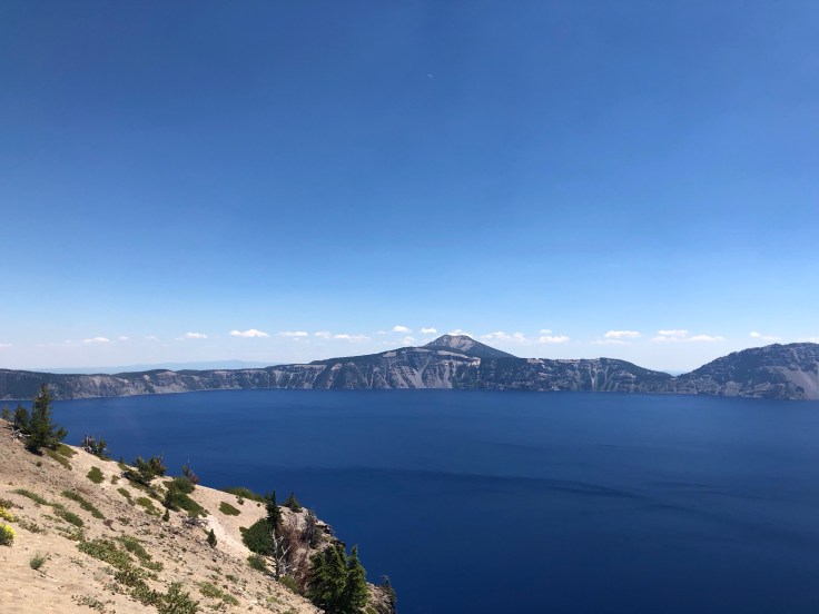
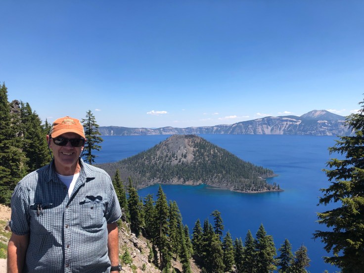
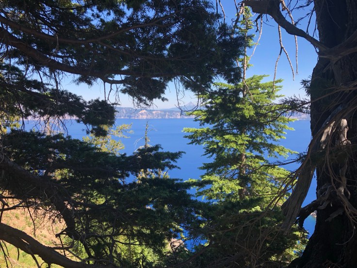
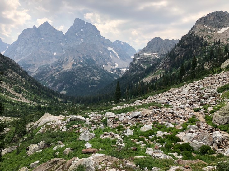
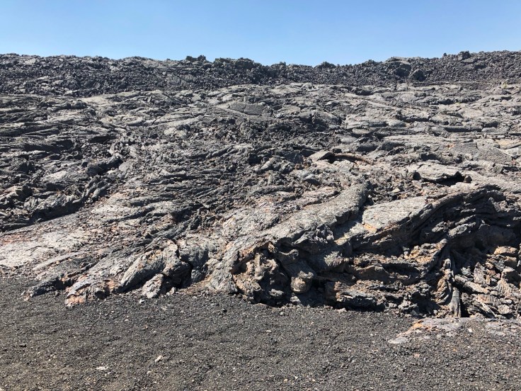
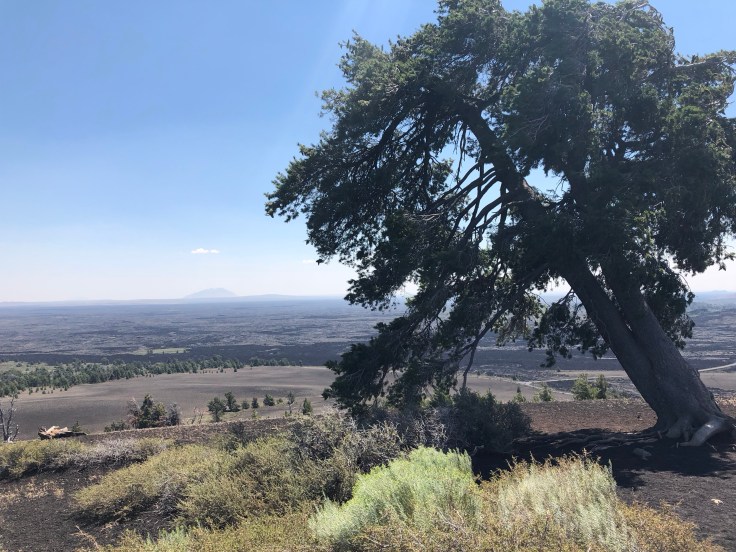
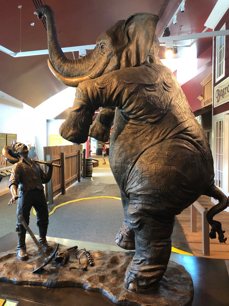
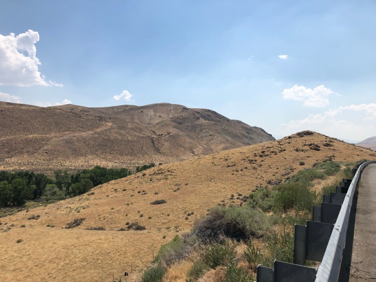
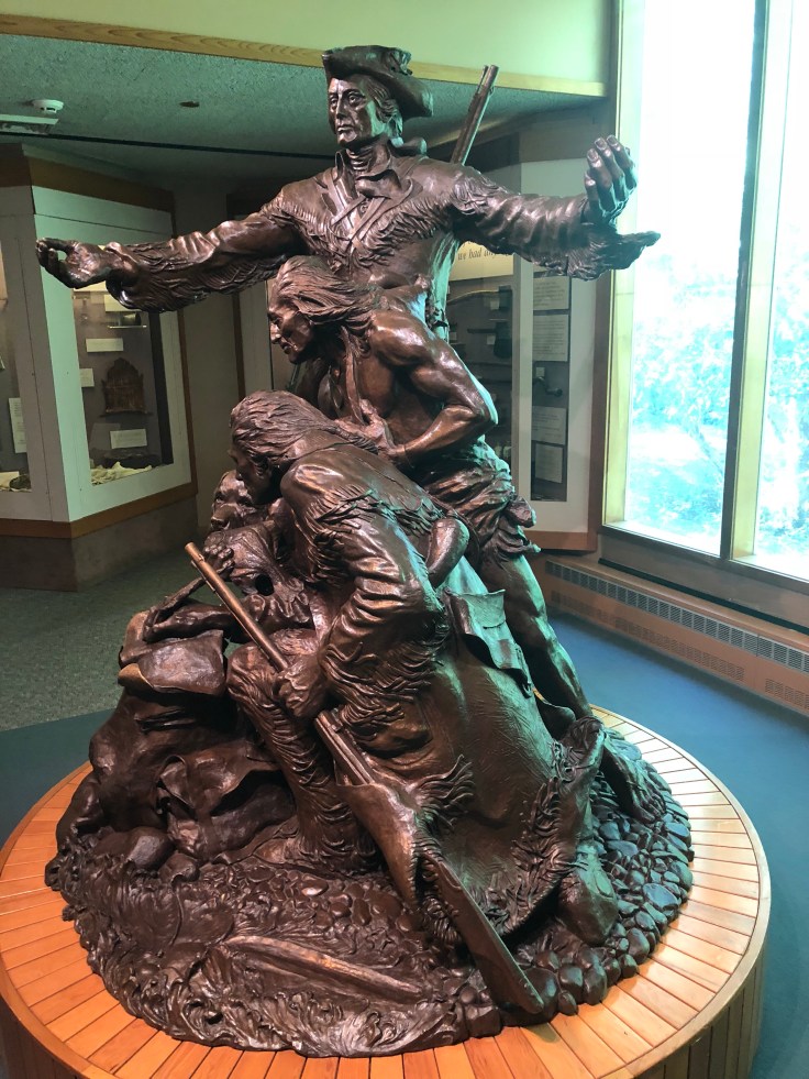
That’s where you’ll be when you visit Crater Lake, Oregon’s only National Park and our country’s fifth oldest, established in 1902. I took a trolley ride around the lake, which lasted for about two hours — and highly recommend it if you should ever go. Lake Crater highlights, besides its dazzling blue color? The NP ranger who accompanied us on the ride had a top 10 list. Here are a few: at a depth reaching 1,943 feet the deepest lake in the U.S.; also, perhaps, the body of water with the greatest visibility in the world — 143 feet; annual snowfall — 43 feet; and, created by a massive volcanic eruption some 7,700 years ago. Oh, and btw, it’s still considered an active volcano! Before Crater Lake, I stopped in Corvallis, home of the Oregon Beavers, passed through Sisters, a beautiful little town, and spent a night in Bend. Leaving Bend, I spent some time at the High Desert Museum, just off Rte 97. It’s outstanding, and through a display of permanent and changing exhibits, paints a wonderful picture of the area’s history, people and culture.

After Astoria

You could easily spend a couple of days in Astoria, but, at this time of year, rooms are dear and I decided to move on. Nevertheless, I went to the Flavel House, the movie museum, which highlighted the making of The Goonies and Kindergarten Cop, and a couple of breweries; my rec would be Buoy Beer. From Astoria onto the Clatsop Fort, just south of Astoria, where Lewis & Clark spent several months preparing for their trek back East. Then onto Rte 101. If you are ever on this road — heading north or south — allot more time than you had planned for. Around every bend and pullout is another spectacular vista. Ecola State Park and Hug Point are especially spectacular. From Newport onto Bend (today) and then Crater Lake (tomorrow) where I have secured a campsite for two nights (thanks, Jack, for those recommendations!!). And a special thanks for new travel friends Jim and Carol Schneider, who allowed their wonderful dog, Leroy, to have his photo taken with me. BTW, their son Paul is starring in a new play on Broadway: “Four Straight Men.” Check it out!

On to Oregon

I met a fellow traveler on the road a few weeks back in Alaska (Micah from a previous blog). He was from Oregon, headed north with his dog, Huck, to Prudhoe Bay. He provided several great recommendations for the OR coast, but forgot to include Astoria, the town I’m in now and, might, perhaps, be staying in for another night or two. Route 101 So. from Washington takes you across a nearly four-mile bridge that spans the width of the Columbia River. Lewis and Clark spent more than two weeks there overlooking the river in 1805, waiting out a merciless winter storm before forging onward, referring to their stay as the “dismal nitch.” Astoria, at the other end of the bridge, is a gritty town of about 10,000, perhaps less gritty now than in its heyday when commercial fishing operations brought in millions of dollars. Its outstanding maritime museum recalls the town’s — and area’s — rich history in waters that have been described as among the world’s most dangerous. Astoria is also the film location for “The Goonies.”

Blog at WordPress.com.

Up ↑