Midnight baseball, anyone?

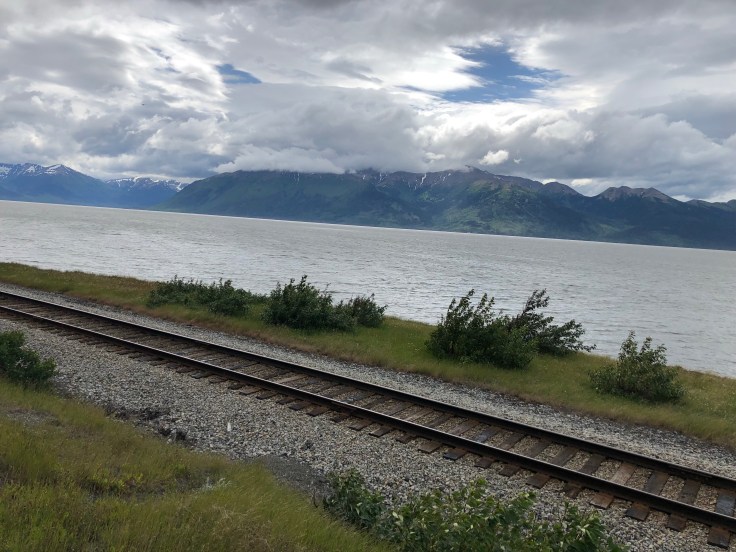
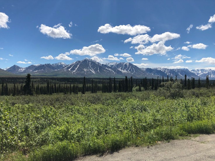
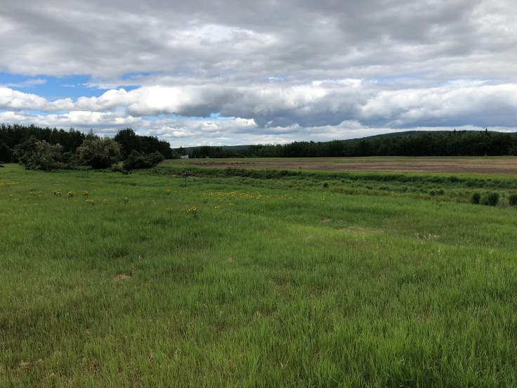
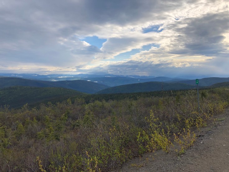
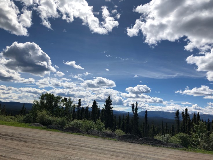
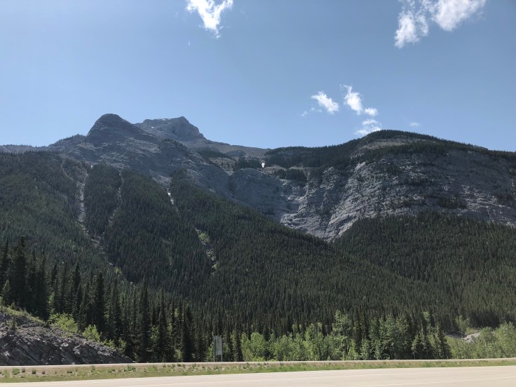
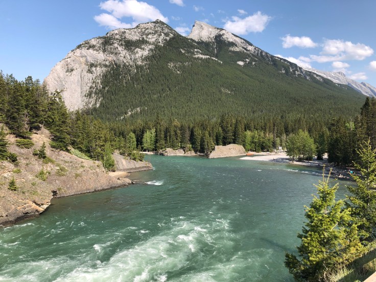
It’s a little late for me, but in Anchorage one of the ways they celebrate the summer solstice is with a baseball game between two semi-pro teams that starts at midnight and ends, well…whenever! I passed Anchorage, Alaska’s largest city, this afternoon en route to Homer, a small town on the western end of the Kenai peninsula. The Old Seward Highway, framed by dense forests and glaciated mountains, takes you there for a bit before giving way to Rte. 1. It’s a breathtaking drive. Unfortunately, high winds and spitting rain prevented me from taking many pictures, but I hope to get some good ones on the return trip.

The High One…

…or Mt. Denali. That’s what the Athabascans called the massive peak that loomed over their land. It was changed to Mt. McKinley by an explorer in honor of then president-elect William McKinley (in the early 1900s, I think). I prefer Denali. It stands 20,310 feet, making it the highest peak in No. America. They say only 30% of the people who venture to Denali National Park get to see the peak (it’s usually clouded in), but we lucked out today — for about 15 minutes! It was spectacular. And we saw some wildlife along the way — grizzlies, caribou, Dall sheep, moose, foxes. Wolves are rare sights. I did not see any, but met a hiker who had.

On the banks of the Chena

The Chena River that is, which wends its way through the mid-Alaska city of Fairbanks, home to the University of Alaska, an Army and Air Force base, several nearby wildlife areas, an aviation museum and a wonderful visitor and cultural center. At one of the wildlife areas, I saw a large flock of sandhill cranes (in one of the following photos you can just barely make them out; they’re pretty far away), but also encountered a large flock of mosquitoes, and when they get on you, they get on you. All in all a neat town (it’s Alaska’s 2nd largest city) and very accessible. In anticipation of almost no darkness, I sought refuge at HooDoo’s, where I was told all the native Fairbanksans go!

Top of the World

That’s the name of the highway that runs from West Dawson City to U.S. customs at Poker Creek. I was up at 5:30 am and caught the ferry that runs across the Yukon R. 24/7 shortly after 6. It was smooth sailing from there. Well, not quite. Hairpin turns, high elevations, still some snow in spots, gravel roads and depressions due to the warming of permafrost. The 180-mile or so trip took about six hours, but the views were spectacular and along the way I saw a moose and some marmots. But the most spectacular part of the trip occurred at the campground where I’m staying in Tok (pronounced toak). Grabbing a bite to eat at the camp’s kitchen, I met a couple in their late 70s/early 80s. They were visiting the husband’s daughter, now age 57, who they had not seen until now (Jim and Jan have been married for 14 years). The daughter had been given up for adoption, grown up in Alaska and, after her foster parents died, decided to try to track down her father, which she managed to do through a DNA connection via another relative. Jim and Jan were beaming as they told this story, not sad about all the years gone by but glad to have finally made the connection.

A town of gold

Dawson City became just that shortly after gold was discovered in 1894 not far from where the Klondike R. empties into the Yukon. It quickly became the largest city north of San Francisco and west of Winnipeg, but as was often the case when gold was found, boom quickly turned to bust. Today it is home to fewer than 2,000 hardy people. Its inhabitants say it has four seasons: almost winter, winter, still winter and construction time. Robert Service lived in Dawson City for three years and Jack London panned for gold on Henderson Creek, a short ways upriver. It sits about 60 miles from the Alaskan border and is about 380 miles southeast of Fairbanks.

The Alaska Highway

Before 1942 you could get to Alaska from the lower 48, but it wasn’t an easy drive. Things changed with the bombing of Pearl Harbor and it was deemed a military necessity to build a supply road through Canada to defend the West Coast in the event of an attack. Construction of the Alaska Highway began in March of 1942 and was completed in November of that same year thanks to the combined efforts of American soldiers and civilians from both the U.S. and Canada. Cutting in and around mountains and alongside lakes and rivers the highway is truly an engineering marvel. And I would probably not be sitting here in the Yukon Territory capital of Whitehorse writing this if it had not been built. Great scenery and much wildlife along the way. If you look closely at the Sign Post Forest (in Lake Watson), you’ll spot a Boston sign from Mass General. They took a more direct route than I did!

When the road takes over

For me, the best part about traveling is just letting go and seeing where the road will take you. Of course, you never let go entirely, but there is a wonderful sense of putting your finely crafted plans aside and just connecting with the rhythm and place of your journey. Today I traveled from Grand Prairie, Alberta, to Fort Nelson, British Columbia, about 370 miles. Not much here, but a wonderful little town, with incredibly friendly people. Why — and how — do people live here, where winter reigns for six months out of the year and temperatures commonly drop to -40? Here’s what the people said when I asked that question: I grew up here; I found a job here; I met my spouse in Edmonton and he’s from here. Why does anyone live anywhere? And yes, on my way to Fort Nelson, I passed a lynx, crossing the road, and two black bears, one sauntering along the highway only 20 yards away. I didn’t have the chance to ask why they chose to live where they did.

A wonderful custom…

…that Canadian trail makers have is to set two red Adirondack chairs at scenic lookout points or alongside glistening lakes. Sometimes a message accompanies the chairs, perhaps encouraging a hiker to just sit and listen; or sometimes memorializing a lost friend or relative. Their understated acknowledgement of nature — and our place in it — is beautiful. After a wonderful couple of days in Jasper, my route now turns north and west. 5,000 miles so far, with Fairbanks still beckoning. Pictures here include Maligne Canyon, the Five Lakes and an encounter with a bighorned sheep (he won!).

Banff to Jasper

It took about five hours to make the drive — about 180 miles — between those two towns on the Icefields Highway. It could have taken a lot longer. Practically every bend in the road revealed an incredibly beautiful site — glaciers, jagged mountain tops, turquoise lakes, and then there was the wildlife: long-horned goats, Rocky Mountain sheep, mama bear with her cubs, elk, bald eagles. Peyto Lake, shown in one of the photos, is actually bluer than it looks.

Bound for Banff

You can see the snow-capped Canadian Rockies as you head west, about 20 miles outside of Calgary. But that view doesn’t prepare you for the close-up version when you arrive in Banff. Jagged peaks, groves of pine and aspen and glacier-green creeks and rivers. The only downside is that there are people — lots of ’em. Oh, well, guess I fall into that category. I’m posting only a few photos today, but will send more when I have a WiFi connection again, which could be a few days away since I hope to finally get some camping in.

Blog at WordPress.com.

Up ↑