Olympic it is

The Olympic Peninsula, from what people tell me, is an often forgotten sidenote to Washington’s fortunes — and misfortunes. That’s hard to imagine, given the area’s tremendous beauty, natural resources and wonderful people. You can sample much of that heading west on Route 101 and veering off onto spur roads that take you to temperate rainforests, misty beaches, crystal blue lakes and, occasionally, the town you should probably avoid. I’ll be entering Oregon tomorrow, but leaving the great state of Washington with wonderful memories!

Another world

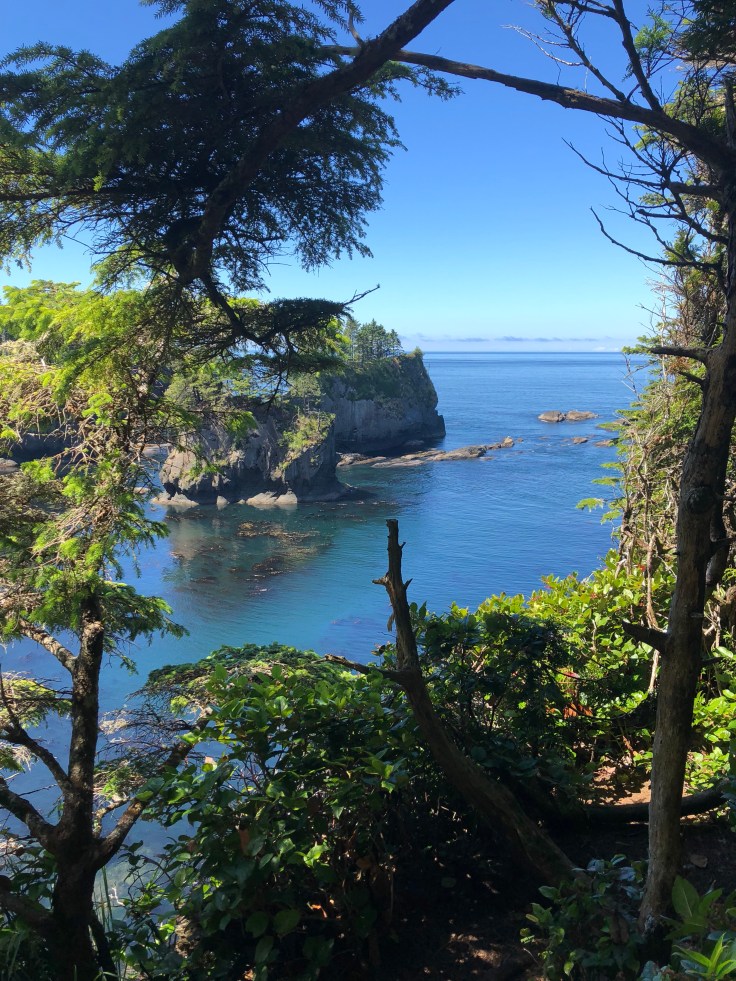
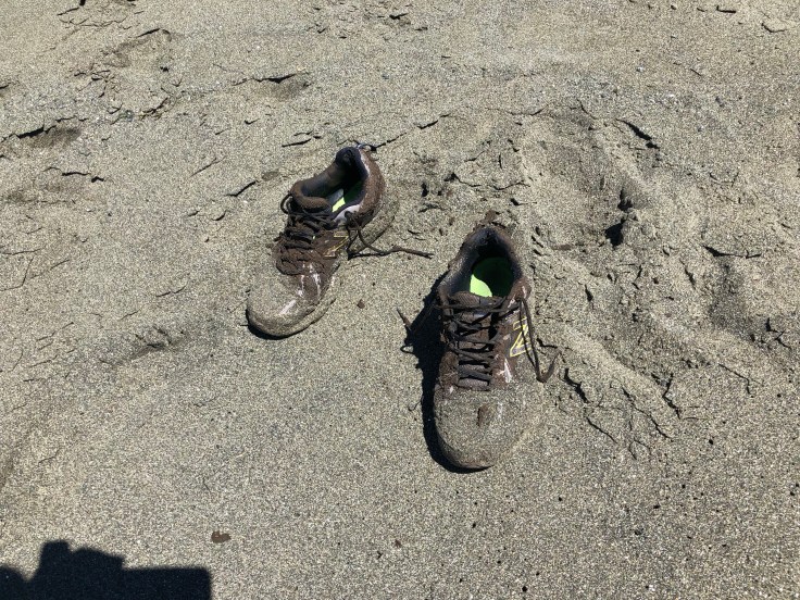
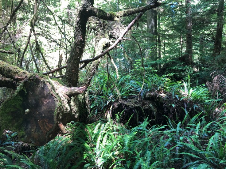
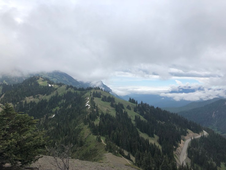
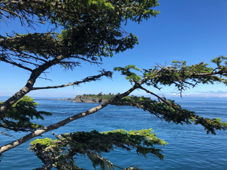
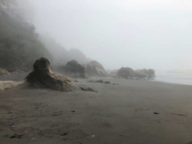
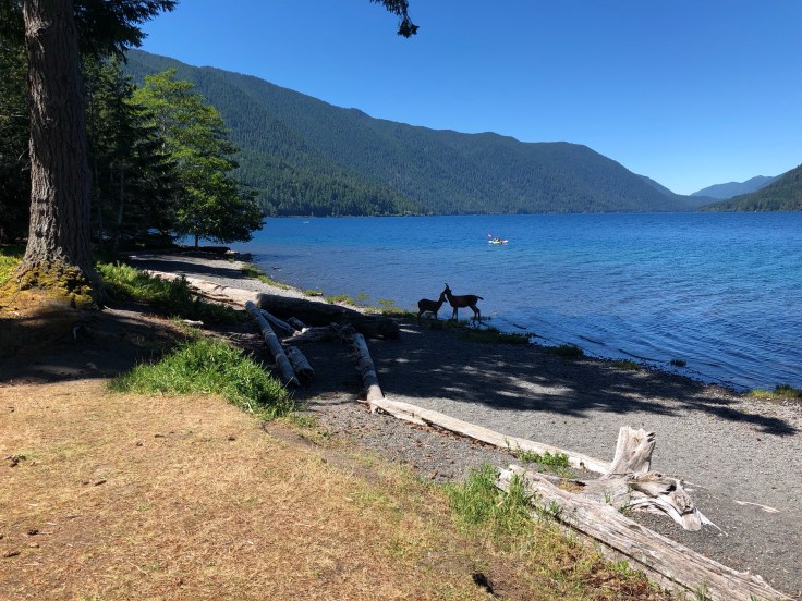
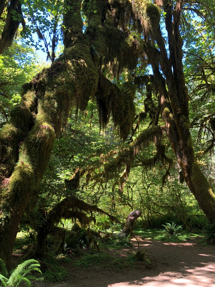
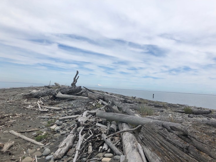
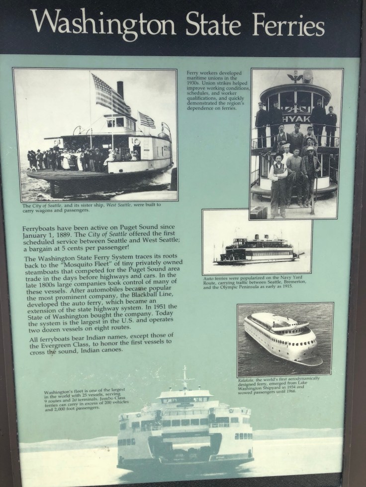
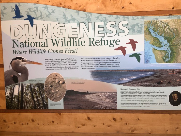
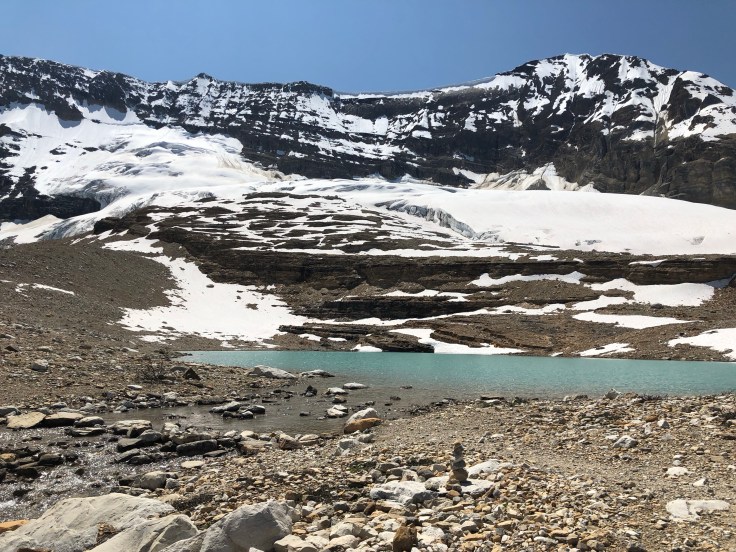
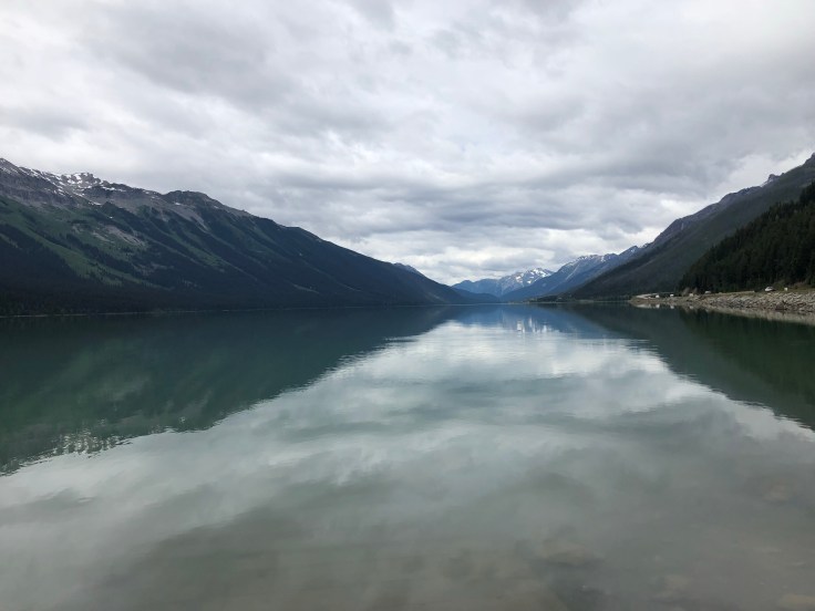
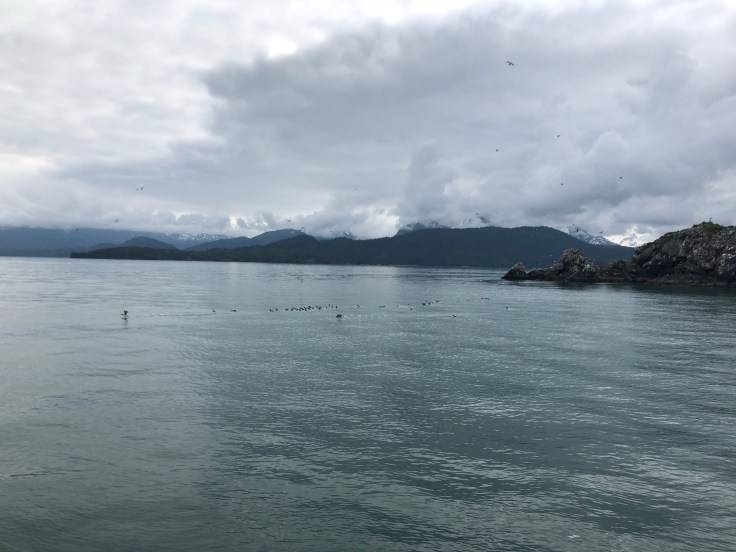
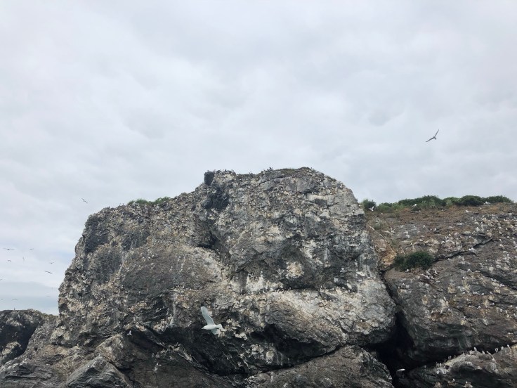
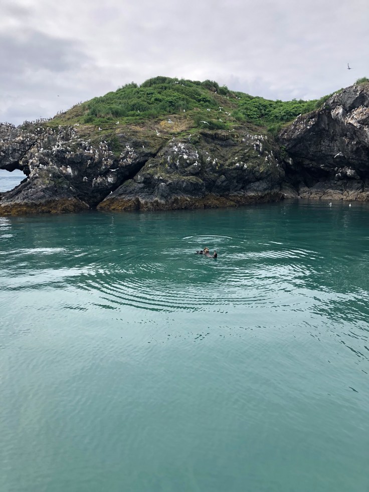
It has sometimes felt like that to me, gazing down from Hurricane Ridge above Port Angeles and looking out to glacial ridges, snow-capped mountains hovering to east and west, and the immense Pacific cresting beyond. Hurricane Ridge is a gateway — and great introduction — to Olympic Nat’l Park, a true gem in our National Parks system. Leaving Port Angeles today I drove out to Cape Flattery and Shi Shi beach, the latter just north of an amazing archaeological discovery of the Makahs, dating back more than 500 years. As I walked along the muddy trail to the beach, I thought about how it was not just a different world, but a different planet, and how the things I saw within a finger’s reach were things I had not seen  before and would probably not see again.

I also thought about John, the motel manager, when I returned my key to check out this morning and asked him if he still did any fish guiding or charters. “No,” he said, “I can barely walk now without a cane.” He told me how he had signed up to be a cook, but when they found out he could handle a gun, it was front lines, infantry. Vietnam, ’67-’69. “Agent orange,” he said with a soft smile. He and his wife moved to Sequim from Clallam when John returned from Vietnam. A better school system, he was told. His two kids are doctors now, doing well in Bellingham. John and wife still reside in Clallam.

On the other side

Across from the hustle and bustle of Seattle lies the most northwesterly part of Washington state — home to rain forests, beautiful beaches, waterfalls (lots of them), the Olympic National Park and…the John Wayne Marina! Wayne frequented the area and his family donated the land where the marina now sits in the 1980s. The marina is part of Sequim (pronounced “squim”), where I decided to do some catch-up work (car, laundry). It’s considered the lavender capital of America and purple is the town’s dominant color. At Sequim’s far southeastern end is the Dungeness National Wildlife Refuge, where a 5-mile walk along the beach will take you to a still-working lighthouse. Mount Baker, barely visible in one of the following photos, looms in the background.

“It is Magnificent”

That is the translation of “Takakkaw,” the name given by the Cree Indians to describe the 254-meter waterfall that cascades down one of the craggy peaks in Yoho National Park. You can walk almost right up to the falls and feel the soft mist on your face or observe it from a short distance, which I was able to do when I opened the flap of my tent each morning. “Magnificent” does not quite do it justice. Yoho is the smallest of Canada’s four contiguous National Parks (507 square miles), but packs a lot into that area, much of which I was able to see on a 10.5 mile hike on Thursday. Leaving for Washington the next day I stopped in the town of Hope (still in British Columbia). Does anyone know what Oscar-nominated film was shot in Hope in 1982. Hint: it wasn’t actually nominated, but a great film nonetheless! The answer is below.

Back to the Rockies

I visited Banff and Jasper a few weeks back, heading north through Alberta to the Yukon Territory. On the way back, I decided to hit Yoho National Park, on the western side of the Canadian Rockies, a short drive from Lake Louise. Its peaks are just as spectacular as its eastern sisters and its hikes perhaps even more so. I’ll find out more about the latter over the next few days. I’m staying in Field, BC, right in the middle of the park, now mainly a small tourist town, but at one time a hub for mining and lumber operations. Railroad tracks carved into and over mountain passes above Field and to the East enabled trains to carry goods and people to the area in the 1890s and the trains are still in service today.

Almost everyone…

…I’ve met on the road has recommended taking the Stewart-Cassiar highway on my way back through British Columbia and, from there, venturing onto Route 38A to Stewart-Hyder if I did. I have not been let down yet from advice given by fellow travelers and that record today remains intact. Stewart is in BC; Hyder in Alaska. You can walk back and forth between the two. At one time, similar to other parts of Alaska and Canada, gold was the big draw and the two towns’ population boomed to 10,000; now, fewer than 500 inhabit the area year-round. The Glacier Bay highway (Rte 38A) might well be one of the most scenic roads I’ve seen on the trip so far and the Tongass National Forest, with hemlock, towering Sitka pine and a variety of other densely packed plant life, is breathtaking. I was too early to see the bears fishing for salmon (the timing varies from year to year), but when they do you can watch them from a platform in Hyder on Fish Creek only 30 feet away. BTW, Stewart has six major motion pictures to its credit, including The Thing with Kurt Russell and Insomnia with Robin Williams.

Kluane, Part II

The Kluane National Park and Reserve, a UNESCO World Heritage Site in the southwest corner of the Yukon, is dominated by glaciers and filled with valleys and lakes that are frozen year-round. It shares a vast land area with Wrangell-St. Elias National Park and Preserve, which contains the greatest number of peaks over 16,000 feet on the continent. By way of comparison, the latter is six times the size of Yellowstone. I passed these and other parks, stopping for photos and short hikes along the way en route to Haines, noted for its bald eagle population, hiking trails and beautiful bay. While there I camped out on a beach where I met three young men from Newcastle University in the UK. They had just returned from camping out on a glacier where they had collected samples and studied environmental activities on the glacier and its surrounding waters.

Kluane, Part I

I left Homer on Sunday, but ran into a traffic problem leaving the peninsula and, when there’s a traffic accident on a 2-lane, well, you just sit and wait, which is what I did. About four hours later, I pulled into Palmer, a neat little town that also happened to have a golf course. I decided to relax the next day and play golf with a young guy, traveling from Central America to the Prudhoe Bay in northern Alaska. His name was Micah, his dog’s name was Huck. The latter is a blue heeler (an Australian cattle dog). What a beautiful little guy. On Tuesday, I left Palmer, passed the Matanuska Glacier and arrived in Beaver Creek. This morning it was off to Kluane (pronounced clue-ah-nee) and eventually Haines. There are more photos to share than I could include in just one blog. Kluane, Part II, follows tomorrow — or maybe Friday!

Start swimming

That would be one way to get to Seldovia if…you’re an otter, orca or beluga whale, all of which on any day might be spotted in the waters between Homer and the town to its west on a ferry ride across the bay. With water temps now in the 40s and often choppy 2-3 foot waves, a ferry would be the preferred human way to travel. Seldovia was home to Athabaskan Indians, Aleuts and Eskimos for hundreds of years and settled by Russian traders, trappers and fishermen in the 1870s. The town was devastated by an earthquake in 1964 but has since recovered and is now home to a year-round population of 300. From May-September people like Steve Bainbridge, who runs an inn and cafe in town, also call Seldovia home. The ferry I was on also motored past Gull Island, site of numerous birds rarely seen elsewhere, including puffins. Without looking it up, does anyone know what pelagic means?

The end of the world

It’s not, but it almost feels that way when you crest a small hill and look out over Katchemak Bay and the mountains, fjords and glaciers that rim its western boundaries. Descending that hill you arrive in Homer, Alaska, the self-proclaimed halibut fishing capital of the world that sits at the very tip of the Kenai (pronounced kee-nigh) Peninsula. It probably is, with that fish and king salmon (some weighing upwards of 90 pounds) attracting avid anglers from around the world. Homer is home to a highly rated hospital, an annual writing conference, and a diverse mix of inhabitants, some of whom have lived in Alaska before it became a state in 1958 and some who are just passing through for a summer — or year — or two.

Blog at WordPress.com.

Up ↑